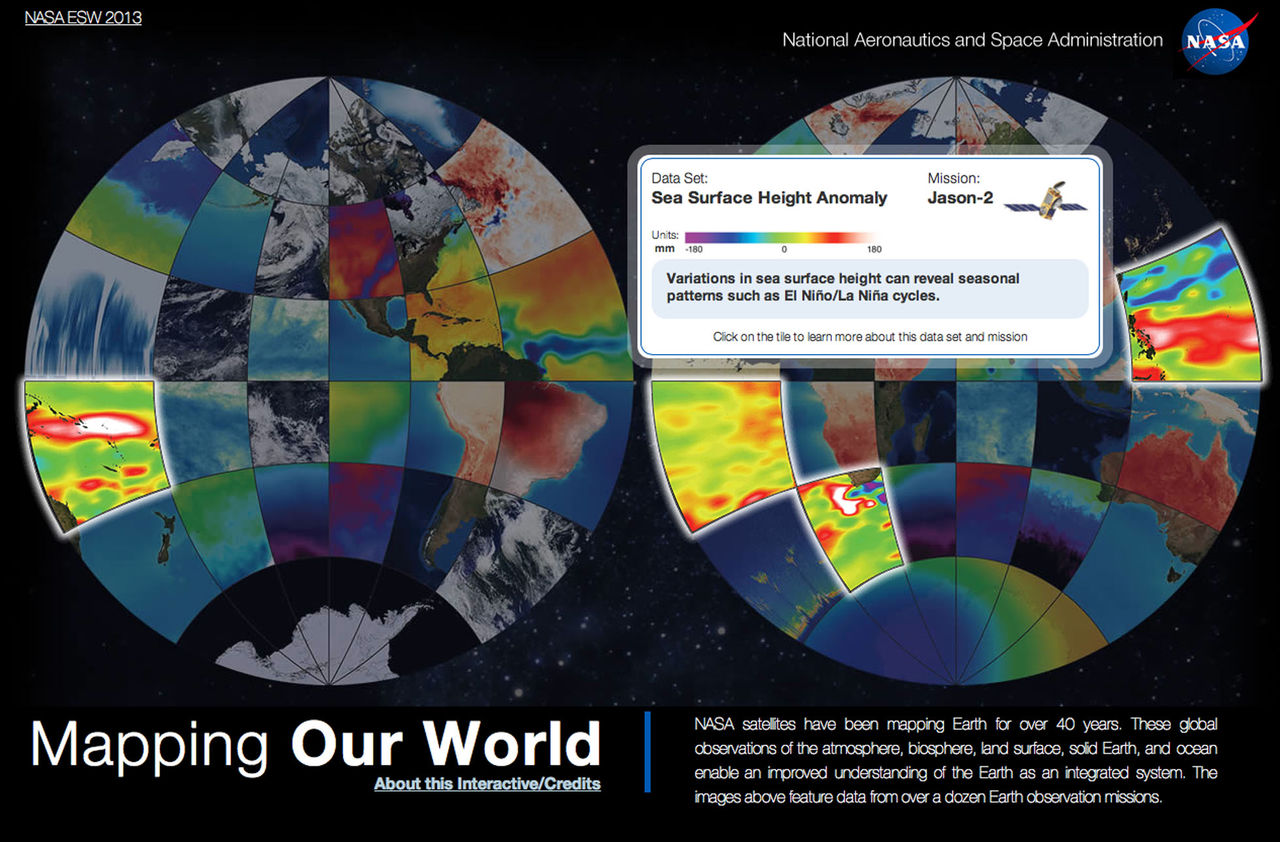
NASA has been surveying Eath for many years indeed, sending up satellites to photograph and measure all kinds of different stuff.
They have measured temperature changes, other types of radiation, changes in sea levels and more. All this information will help scientists understand Earth more deeply.
If you also want to understand Earth more deeply, you can now take advantage of a variety of maps that NASA has published, in the project called “Mapping Our World”; created by these all these measurements over all these years.
You can also read a little about how the project has been created and NASA has gathered a bunch of links for further reading.