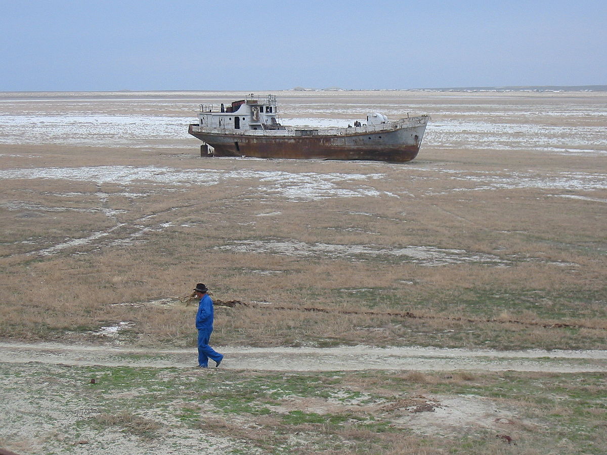
The Aral Sea was once the fourth-largest lake in the world with an area of 68,000 square kilometers (26,300 s.q. mi). But since then the lake has steadily been shrinking.
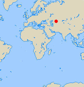
The Aral Sea is/was situated between Kazakhstan and Uzbekistan near the Caspian Sea. But in the 1960s several rivers that feed the lake were diverted by Soviet irrigation projects, and ever since the lake has steadily declined.
New satellite imagery from NASA taken from space reveals the fate of what is sometimes described as one of the world’s worst environmental disasters ever.
The sea’s surface area shrank by about 60% between 1960 and 1998, its volume by 80%. This is largely the result of the Soviet government 5-year plan of the early 1960s when the Soviet Union decided that the two main rivers that fed the Aral Sea, the Amu Darya in the south and the Syr Darya in the east, would be diverted to irrigate the desert.
This water was used to grow rice, melons, cereals, and cotton. But the receding lake began to leave behind vast plains covered with salt and toxic chemicals – which is the results of weapons testing, industrial projects, pesticides and fertilizer runoff.
If you scroll forward below, you will see the dramatic development from the year 2000 up to September in 2014. The first picture shows how it looked in August 2000. The black line shows the lake’s shoreline in 1960.
Photo credit: NASA