Scientists warn of an unusually strong El Niño with floods, droughts, fires and epidemics to follow in its wake.
Scientists noticed signs of El Niño already in May this year. In recent time the U.S. National Weather Service at the National Oceanic and Atmospheric Administration (NOAA) has seen more evidence of an imminent El Niño, as the water at the equator has been unusually warm in the Pacific Ocean during the summer and with changing wind patterns.
These signs indicate that the weather phenomena could be in full motion next spring. The researchers estimate the likelihood of a strong El Niño to be 90 percent. But some models even predict the weather phenomena to strike this fall or winter, already.
What is El Niño?
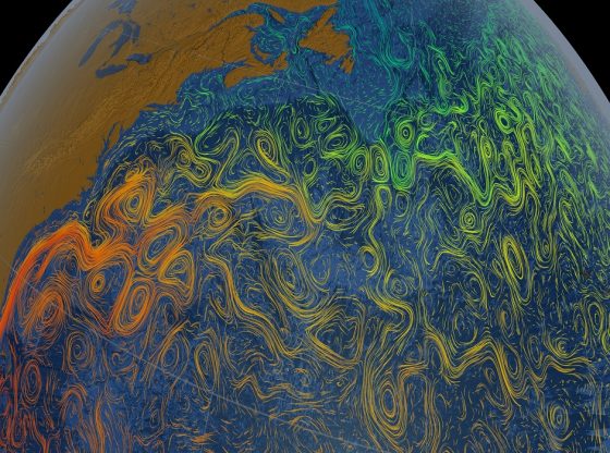
Southern Oscillation El Niño (commonly called ENSO) is a climate cycle in the Pacific Ocean with a global impact on weather patterns. The name El Niño means The Little Boy or Christ Child in Spanish. It was originally recognized by fishermen off the coast of South America in the 1600s already. And the name is derived from the time of year (around December) during which these warm waters events tended to occur.
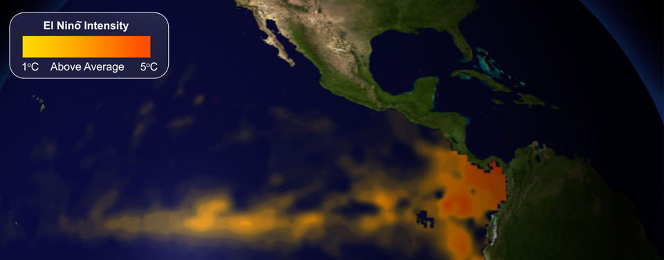
It occurs when warm water in the Pacific Ocean moves against the two American continents. As a large-scale ocean-atmosphere climate interaction is linked to a periodic warming in sea surface temperatures across the central and east-central Equatorial Pacific. Warm water in the western tropical Pacific Ocean shifts eastward along the equator toward the coast of South America. This warm water is usually pooled near Indonesia and the Philippines. But during an El Niño, the Pacific’s warmest surface waters instead sit offshore of northwestern South America.
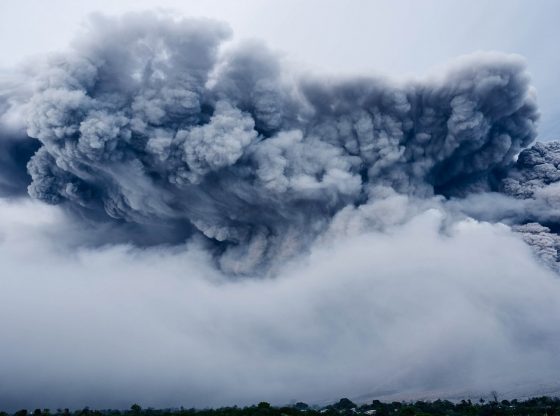
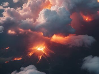
Unusually Strong
And this time around, the natural phenomena may be worsened by atmospheric winds and the low-pressure system called Southern Hemisphere Booster near Australia, which could add to the westerly winds, helping to release the heat that causes El Niño. There are increasing signs that the weather phenomenon could be even stronger than the devastating 1997 and 1998.
And what makes this El Niño even worse is also the fact that there is more energy in circulation on Earth today than just a decade ago. This El Niño is the first to take place since the rapid melting of Arctic sea ice and snow cover. Simply put, global warming and climate change are making the weather worse. And these unprecedented combinations of factors has us heading into uncharted weather territory.
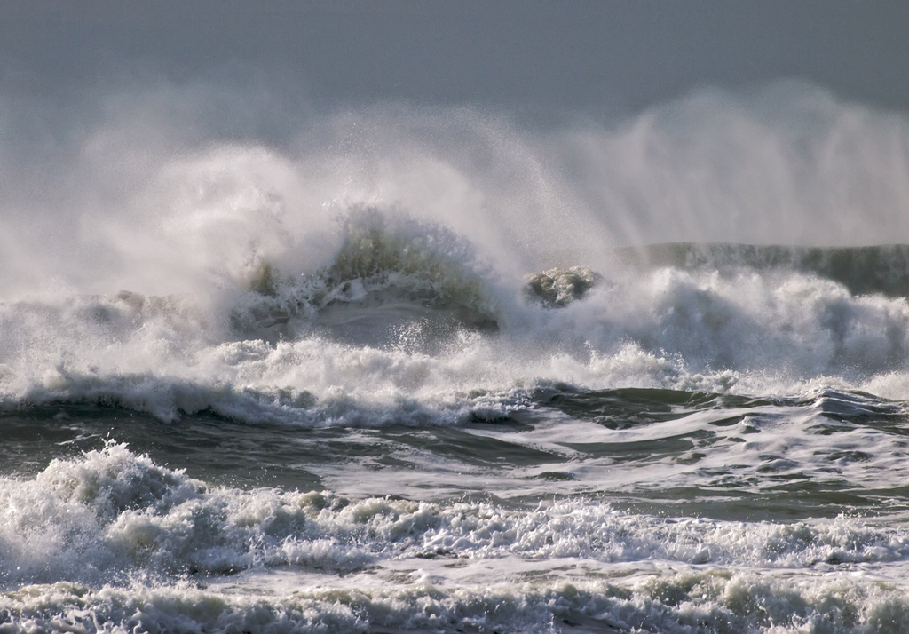
The Effects
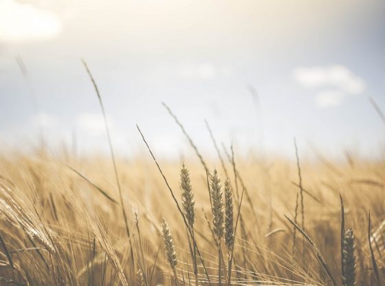
The central and eastern Pacific regions can expect an unusually turbulent hurricane season. Parts of North and South America should expect heavy rainfall, floods and even outbreaks of waterborne diseases, while Australia and parts of Asia should instead expect drought and high heat to follow.
Since California should expect stronger storms and more rain, this is actually welcomed in the state, which has been severely affected by drought in recent years.
_____________
National Weather Service (NOAA)
El Niño Wikipedia
__________________________