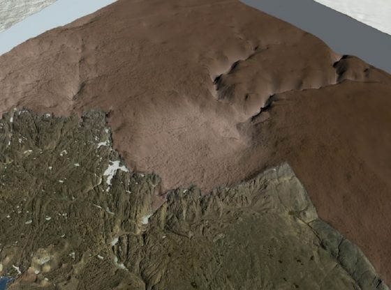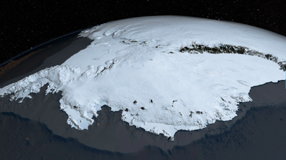
The British Antarctic Survey has gathered data on the geography of Antarctica for several decades. And they have recently constructed a map of the continent, called Bedmap2.
The first Bed-map was almost entirely created with measurements taken by the scientist on the ground. But this new version relies on many different sources, providing us with a much more accurate map.
The NASA program Ice-bridge has been crucial in providing data, measuring surface elevation, ice thickness, and bedrock topography.
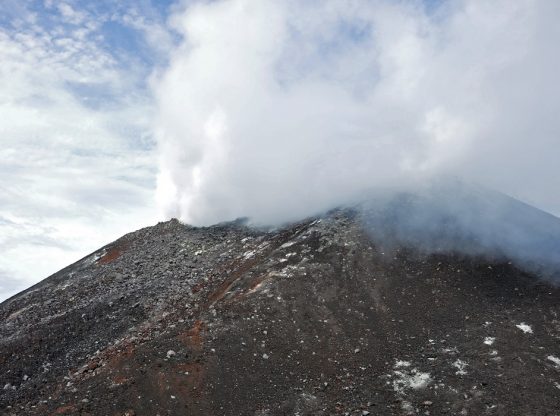
The Bedmap2 now shows us the exact shapes of mountains and other formations. It also helps to determine how quickly ice and water will travel to the ocean to cause the sea levels to rise. It also shows the great hidden mountain range of the Antarctic.
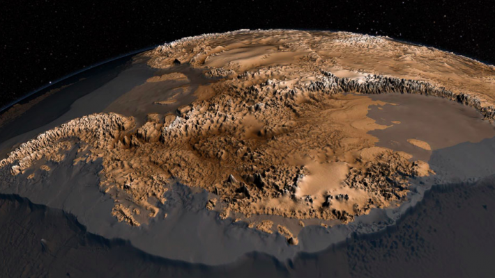
Revealing the mysteriously hidden continent with a once flourishing plant life and fauna.
__________________
British Antarctic Survey/
____________________________________