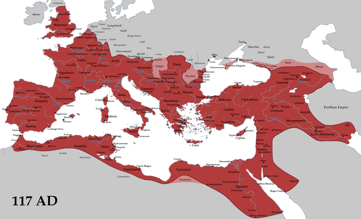
An Empire is marked by its borders. As the Chinese built their Great Wall to protect the Middle Kingdom from northern invaders, Rome also built great walls to protect its territory from invaders from the south, north and the east.
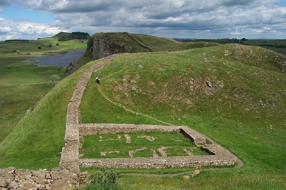
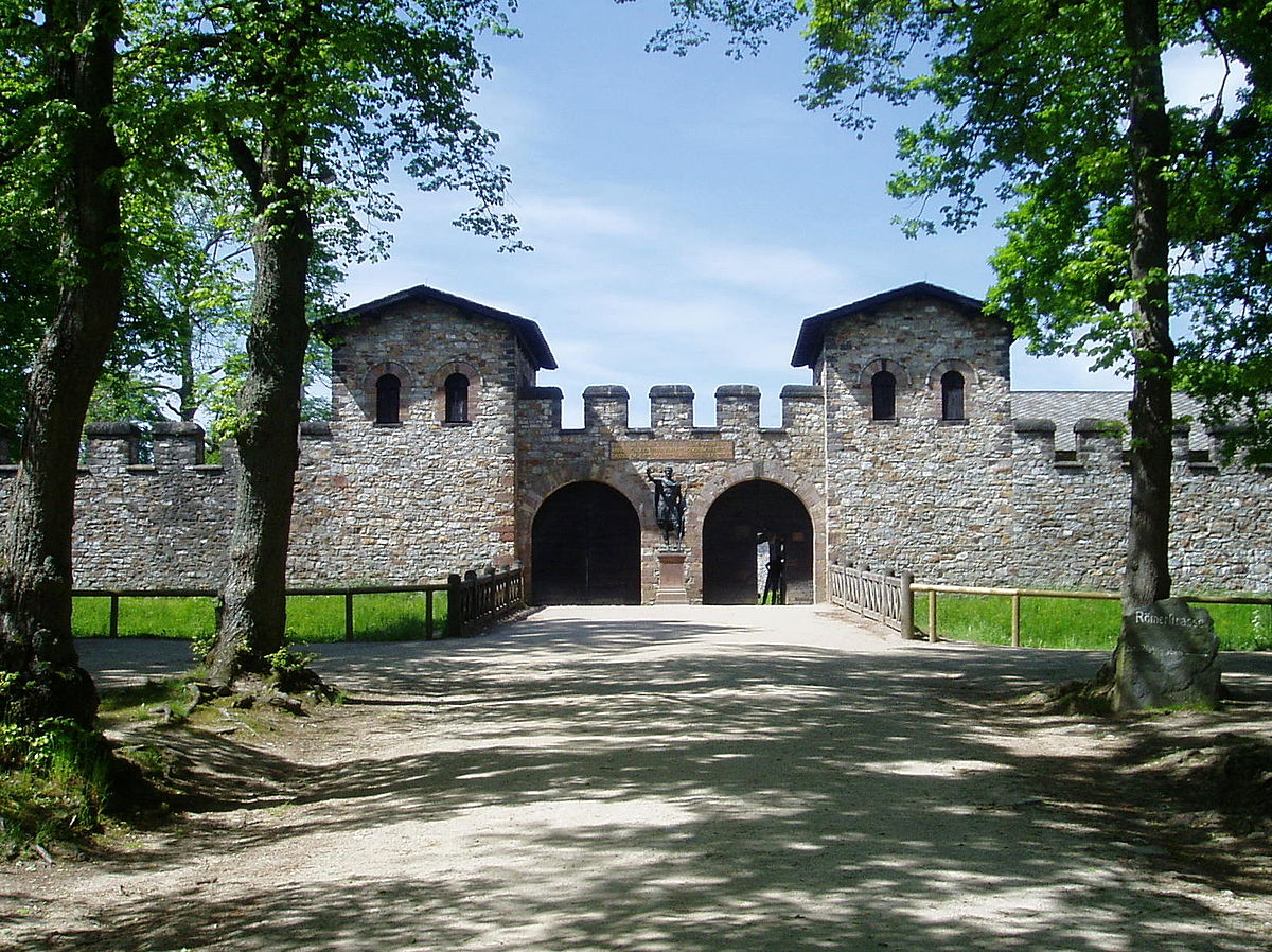
The Hadrian’s wall in Great Britain is only one example of the extensive fortifications that surrounded the Roman Empire. Walls to keep barbarians out marking the border for which Roman society rained supreme. The borders were marked by a feat of extensive fortifications and marvels of architectural engineering and they must have astonished people living beyond them.
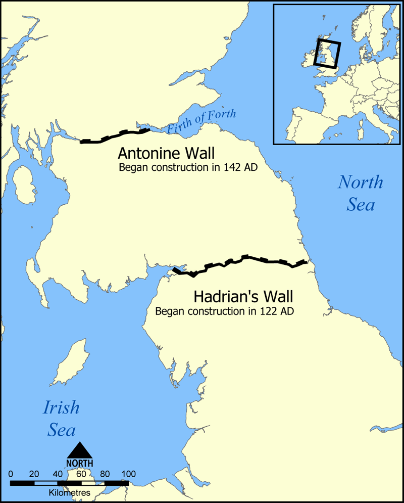
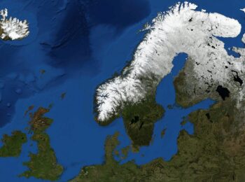
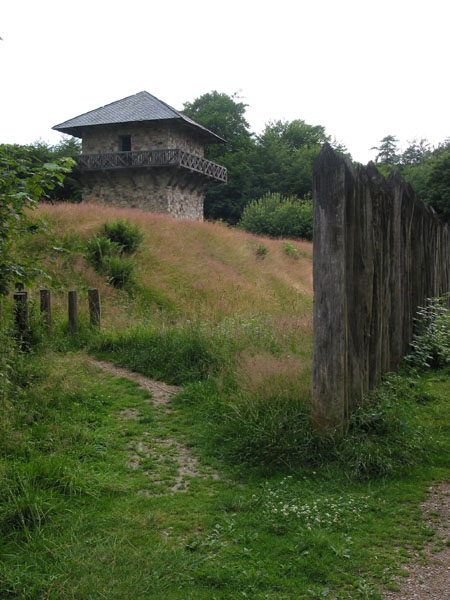
In Britain, the Antonine Wall ruins are less evident than the better known Hadrian’s Wall to the south as seen on the map to the left. Its construction began in 142 CE on the order of Roman Emperor Antoninus Pius and was an attempt to extend the Roman Empire northwards in Britain. Historians speculate that the wall was a result of continued pressure and raids by the Caledonians; who were the indigenous peoples of what is now Scotland during the Iron Age and Roman era. Antonine’s wall was protected by 16 forts with small fortlets between them. With a road linking the sites between, known as the Military Way.
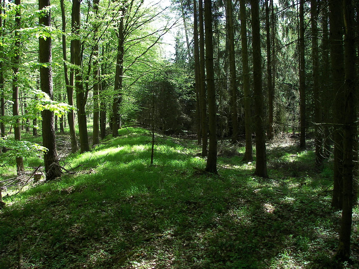
The border of the Roman Empire was a combination of natural frontiers (for example the Rhine and Danube rivers) and man-made fortifications. The Romans called these fortifications “limes” and these were the bulk of the border fortification system of the Empire. With walls often built in between, which the Romans called “vallum” and watchtowers looking over the surrounding areas.
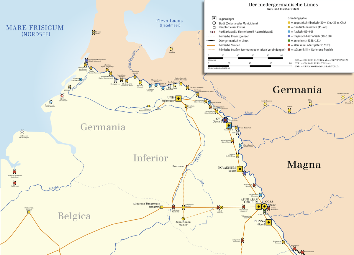
The Limes Germanicus was divided into three parts with The Lower Germanic Limes ranging from the North Sea in modern day Netherlands along the then main Lower Rhine branches. The Upper Germanic Limes from the Rhine at Rheinbrohl across the Taunus mountains to the river Main, along with the Main to Miltenberg, and from Osterburken south to Lorch in an almost perfectly straight line of 70 kilometers.
And it lastly it consisted of the proper Rhaetian Limes, which extended east from Lorch to Eining on the Danube river. The total the length of the Limes Germanicus border fortification was 568 kilometers (353 miles) and included at least 60 forts and 900 watchtowers.
These limes were however never intended to prevent whole Germanic tribes and armies from entering the territory of the Roman Empire. The intention of the limes was to facilitate passage of traders or those immigrating to live or work within the Empire. The limes was a means to control this traffic.
But to cross the limes it was necessary to pass by the watchtowers and to do this undetected would only have been possible for small groups. If an army were to invade, this would shortly alert the Romans and the Roman Army would respond. Thus the limes also acted as an alarming system giving the Romans knowledge of the traffic crossing their borders.
This was crucial for the Roman military complex. After all, for a territory as large as the Roman Empire at its height, there were amazingly few soldiers. At the peak, the number of regiments of the Roman Army was about 400 under Septimius Severus, this translates into roughly 250,000 men, protecting the vast territory of the Roman Empire encompassing almost the entire western Europe.
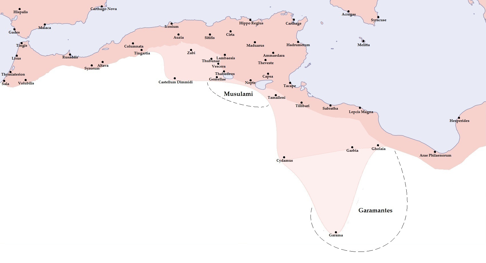
In Britain, there were two main walls built at different times as mentioned. For Mauretania in North Africa, the Romans built a single wall with forts on both sides of it. In Syria and Arabia Petraea, there was no single continuous wall. Instead, the Romans built a net of border settlements and forts occupied by the Roman army.
The Southern borders at their greatest extent were situated along the deserts of Arabia in the Middle East and the Sahara in North Africa, which represented a natural barrier against expansion. With the Empire controlling the Mediterranean shores and mountain ranges further inland, these also constituted as natural borders. The Romans also controlled the Nile many miles into Africa up to the modern border of what is now Egypt and Sudan.
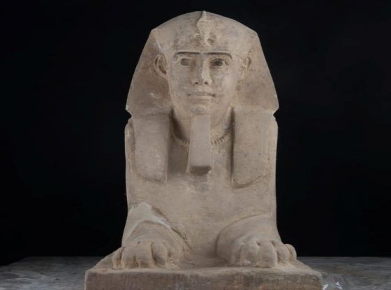
As seen with the eyes of the Romans, all people living beyond their borders were barbarians. The ancient Romans classified everything outside the Roman Empire as “Barbaricum” – primitive areas outside the civilized world. Even though these places often also had magnificent cities and high cultures of their own.
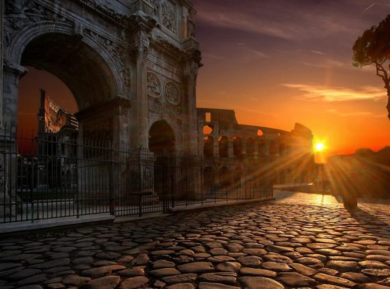
The Romans erected an extensive road network across the Empire. Roads that would eventually make it possible to travel from Britannia in the north to the African Mediterranean coast in the south.
They facilitated transport, management, and commerce around the Empire. They also made it easier for the Roman Army to travel between fortifications along the borders and if necessary, respond to any internal threats, making the legions more mobile, easier logistics and faster travel time.
The border fortifications and military complex that operated them were a natural function on defense. A defense of that characterized the ancient Roman world. As within all conquered provinces, the Romans built cities with well-kept streets, aqueducts, which provided residents with running water, bathing facilities with hot and cold water, latrines with sewers, public buildings, and amphitheaters.
The Roman Empire citizens could move freely and take advantage of a thriving, money-based commerce in urban squares, while it required special permission (and sometimes surveillance by armed guards) of the barbarians beyond the empire who wanted to cross the border to sell their goods at Roman markets.
Germanic invasions in the late 3rd century CE led to the abandonment of fortifications with an Empire in retreat.
_______________
Unesco: Frontiers of the Roman Empire
______________________________